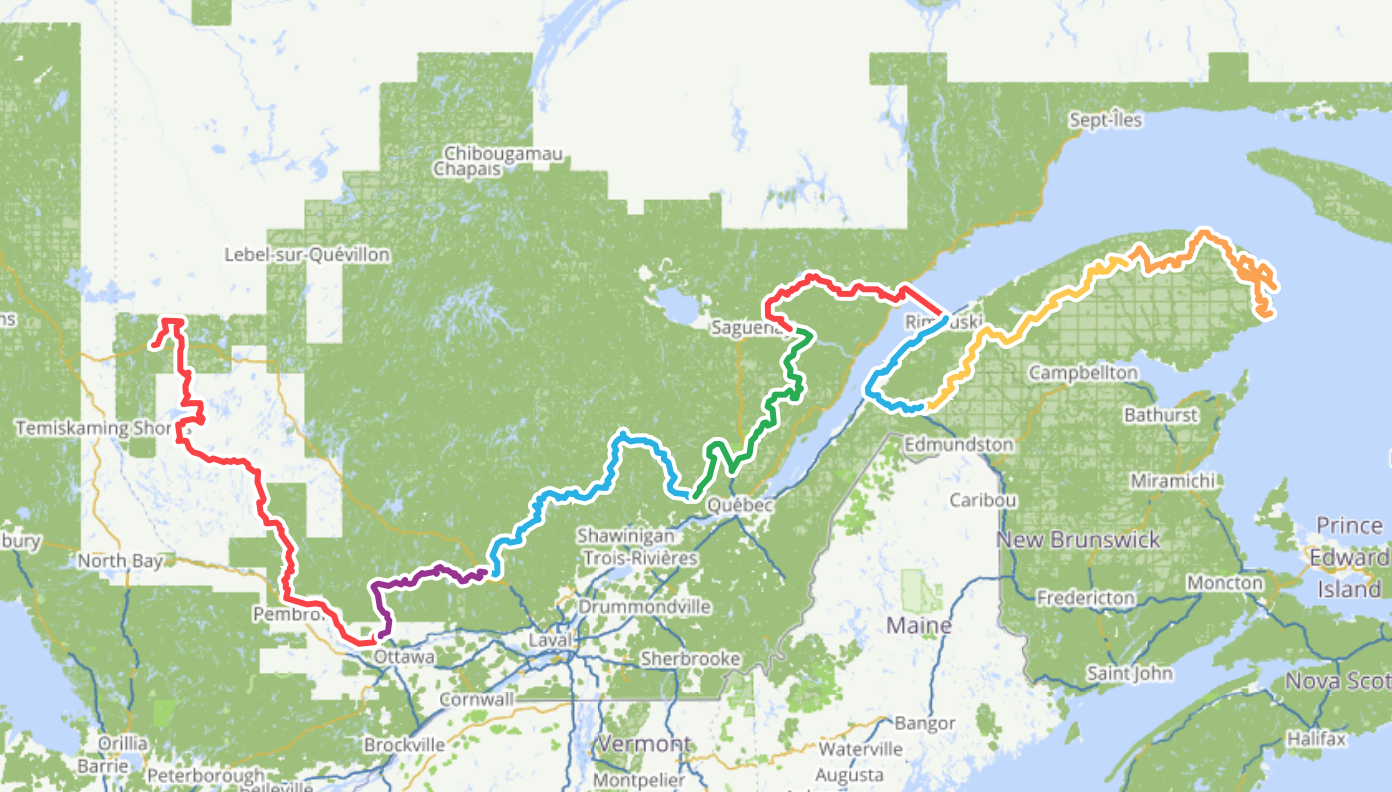
50% of the QcBT is now verified
Summer is moving along very fast and thanks to collaborators traveling in Quebec this summer, the Québec Bikepacking Traverse itinerary project is more and more developed.
It's with pleasure to announce that segments II and III are now complete!
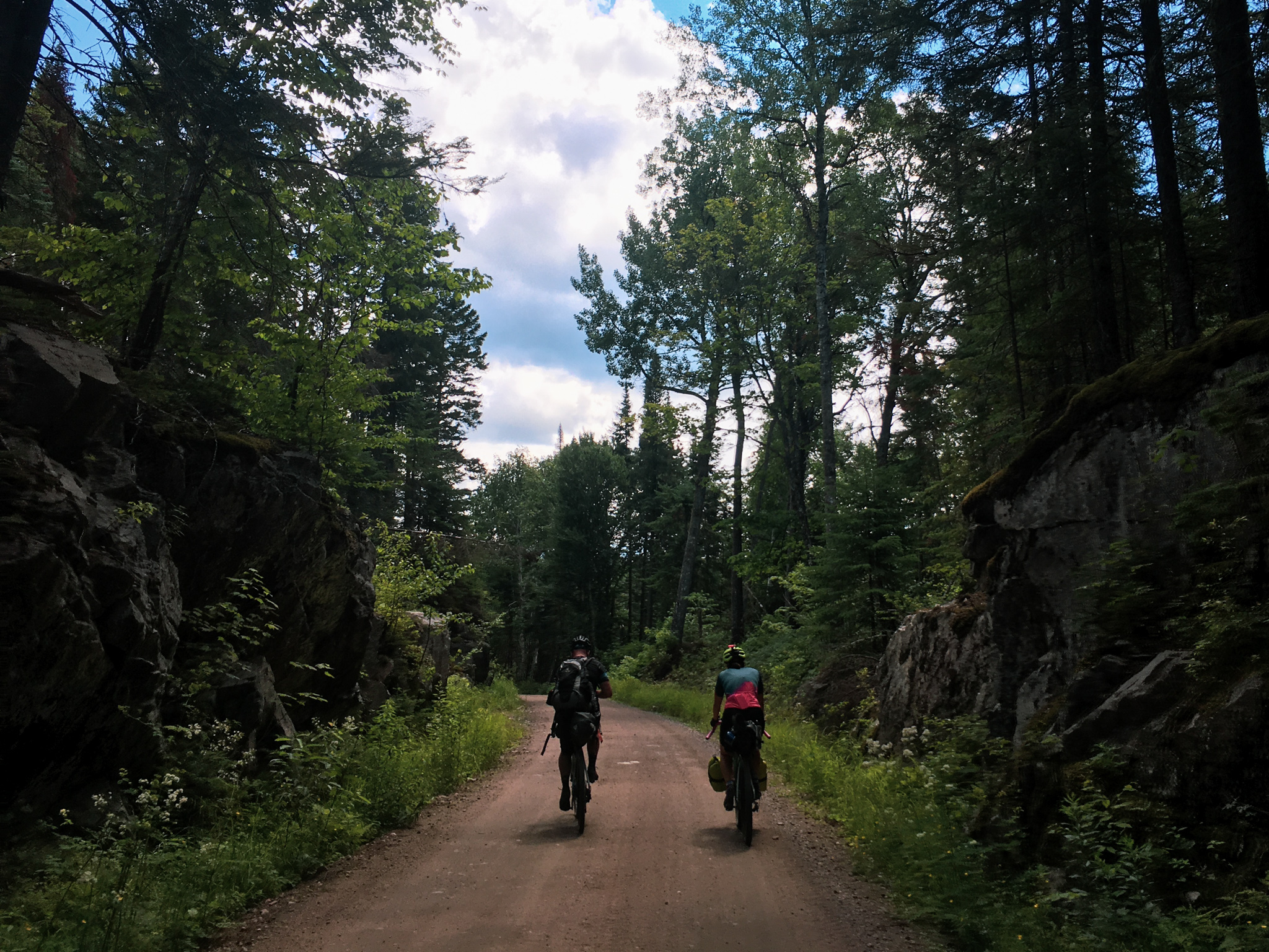
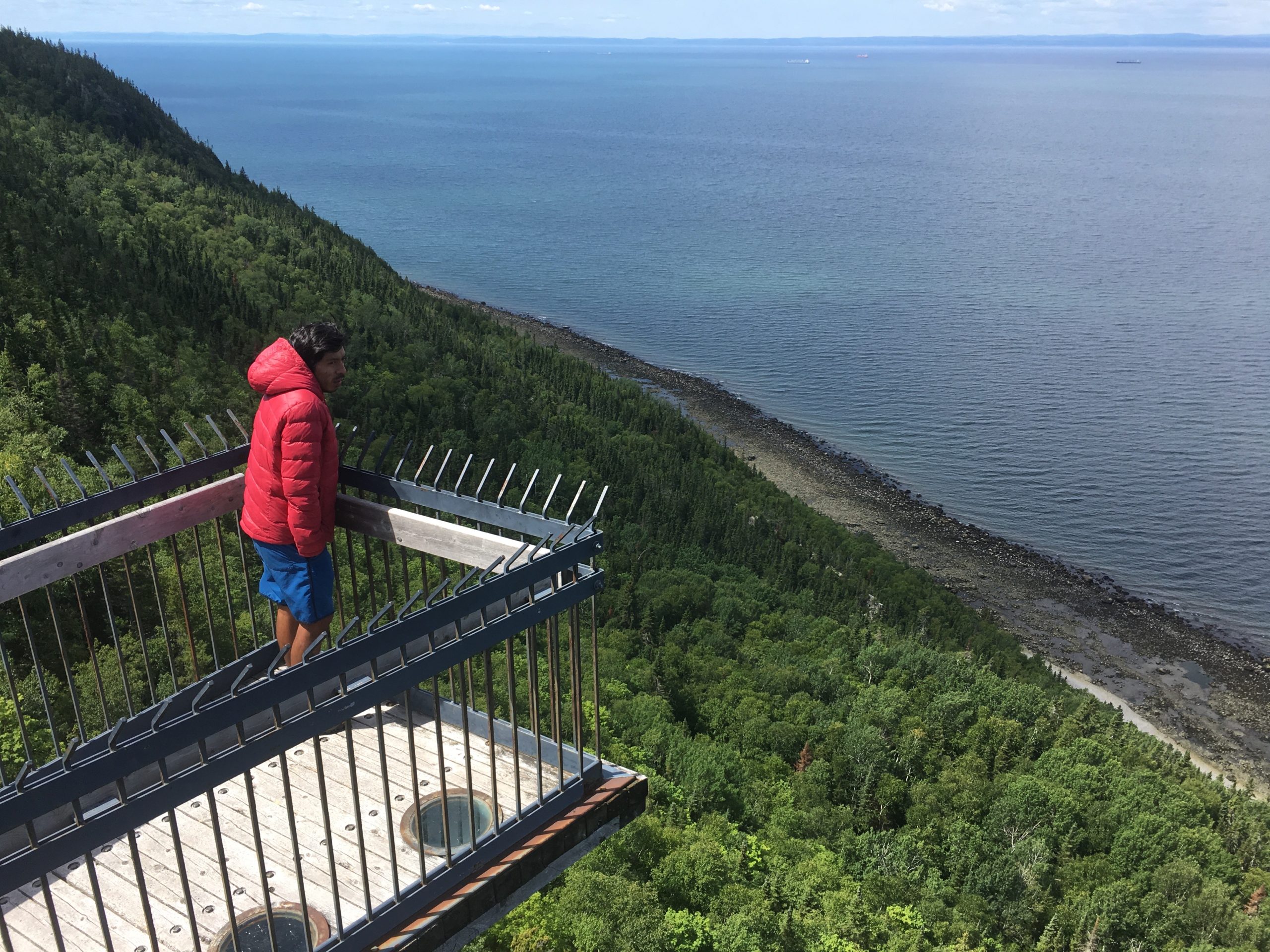
The segment II links Outaouais and Laurentides regions by Gatineau park, Veloroute des Draveurs, Poisson-Blanc regional park and Papineau-Labelle wildlife reserve. It stretches over 260 kilometres and cumulates 2,675 meters of elevation gain.
The segment III links Mont-Tremblant in the Laurentides all the way to Riviere-a-Pierre, in Quebec region. It goes through Mont-Tremblant national park, Lac-Taureau regional park, Chapeau-de-Paille zec, Saint-Maurice wildlife reserves, Bessonne and Jeannotte zecs and the Portneuf wildlife reserve. It's a journey of 460 kilometres, cumulating 5,000 meters elevation gain.
Those two segments are the closest from Quebec urban centers and it's possible to use the Connectors, which many are still in the planning phase, from Gatineau, Montréal, Trois-Rivières and Québec.
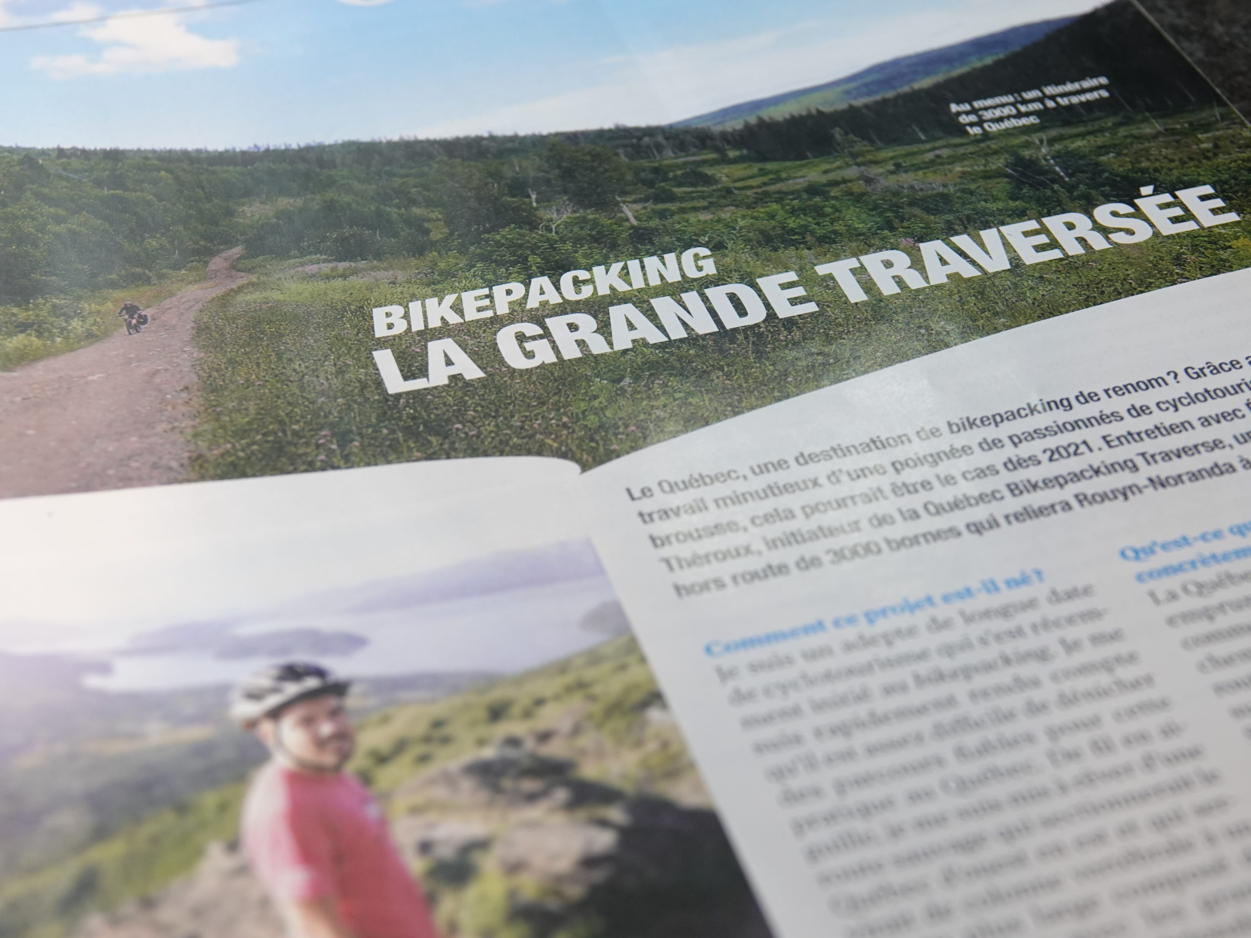
There are now three out of the eight QcBT segments that are verified and fully online. With some portions of other segments already verified, it's now 50% of the total itinerary that is confirmed on the field! Thanks to all who are participating to the elaboration of this project!